
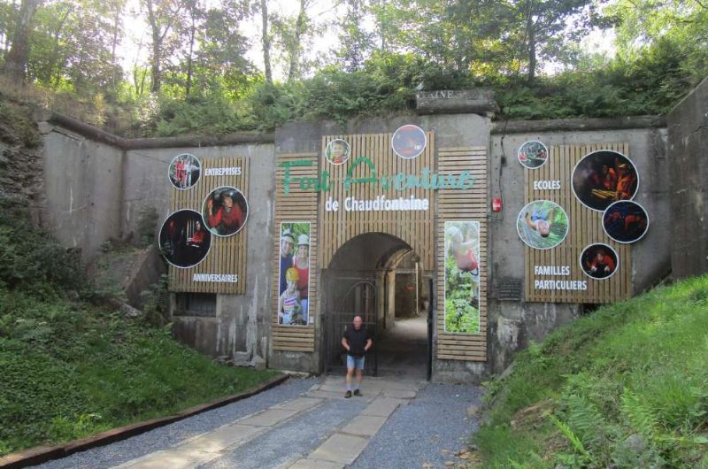
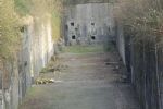
Fort de Chaudfontaine

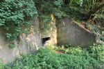
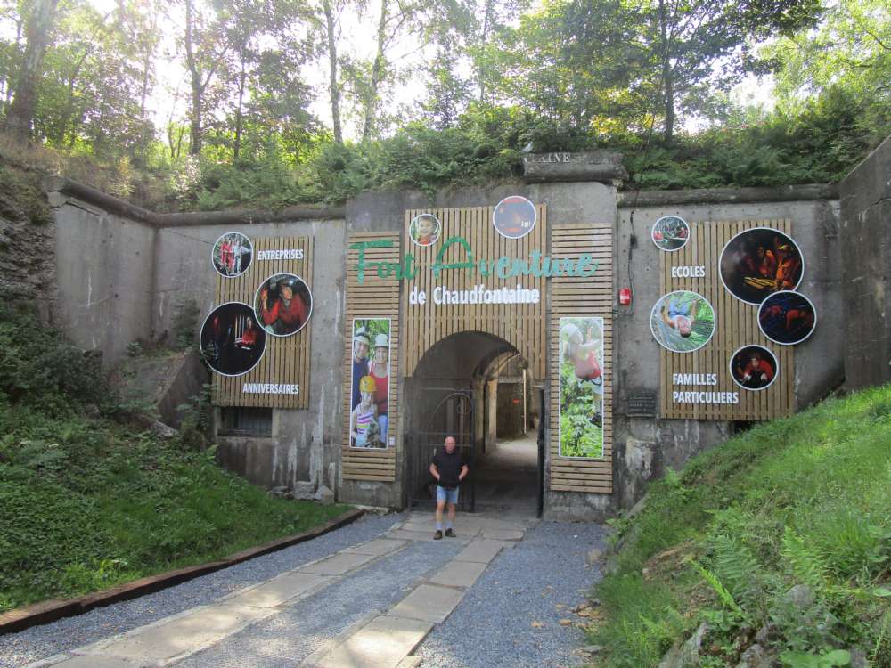
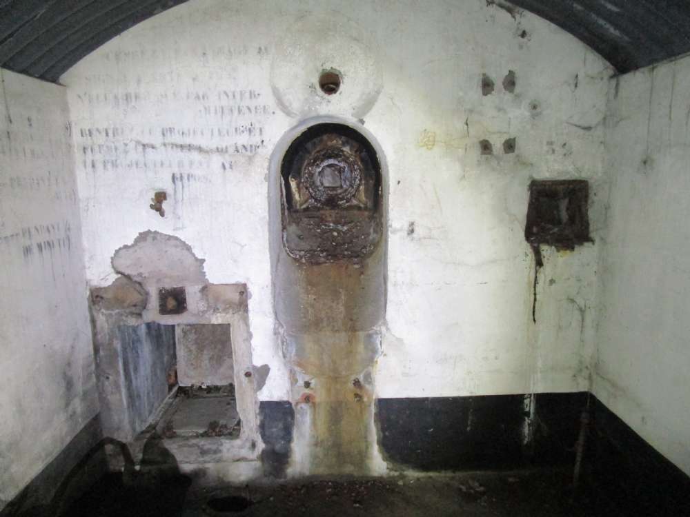
Erected from 1888 to 1892, as a modern concrete infrastructure, equipped with the most modern weapons for its time, the fort of Chaudfontaine is one of the six small forts of the Liège belt. Dominating the Vesdre valley on the right bank at an altitude of 220 m, it lies, along with the fort at Embourg, to the south of the fort at Fléron and to the east of the fort at Boncelles.
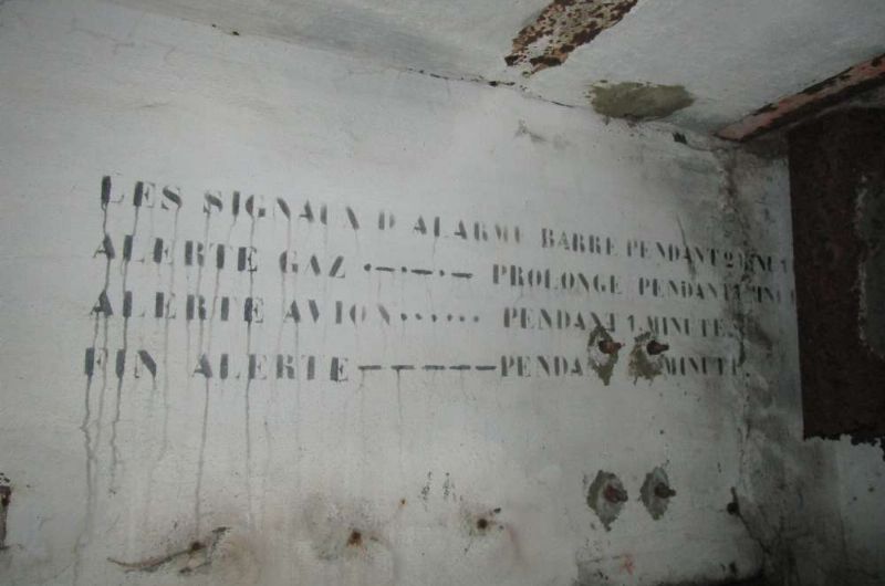
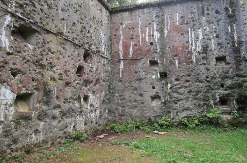
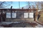
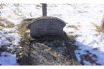
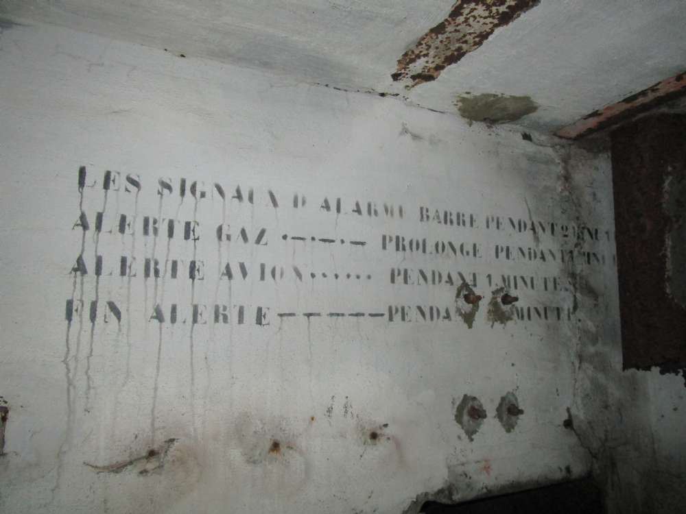
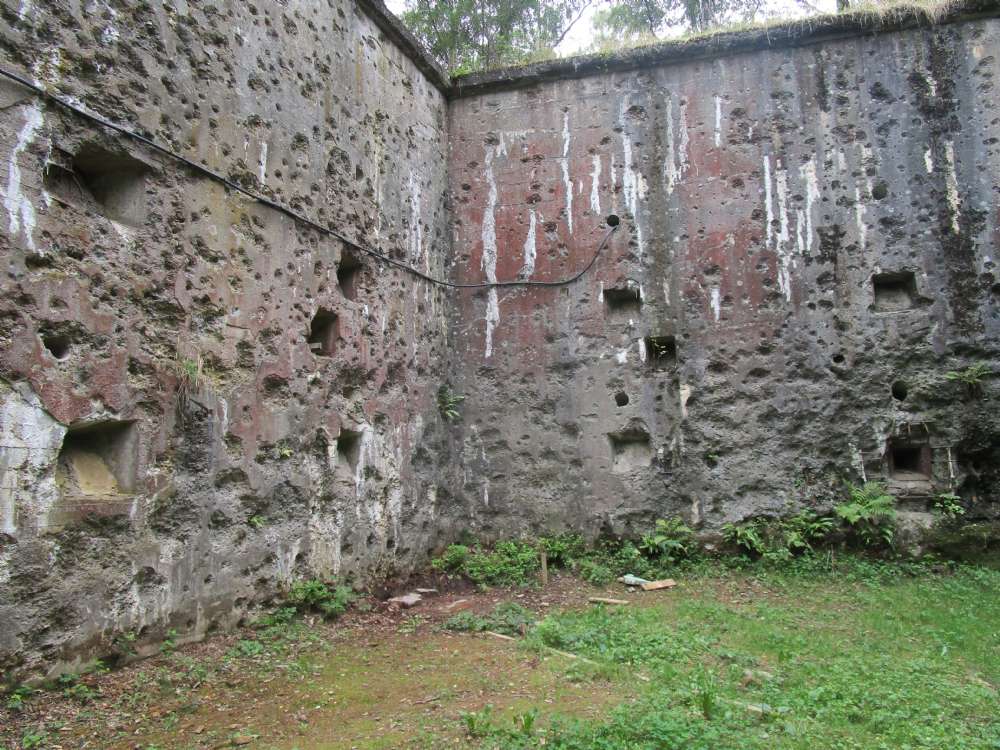
During the First World War, after two days of resistance, the fort gave way on August 13, 1914 following the explosion of a German shell in the ammunition store vault. The street leading to the fort was renamed " rue du XIII Août " and a military cemetery was established there, along with a monument in tribute to the 50 of the 71 victims buried in the necropolis who perished in the fort's fire (explosion).
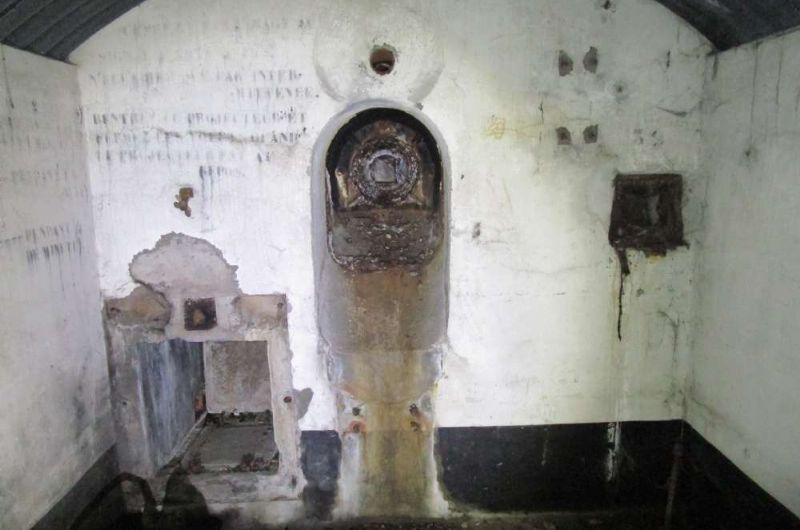
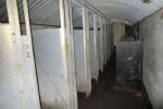
In 1933, the fort was renovated, rearmed and consolidated. The vaults were reinforced with a thick layer of reinforced concrete, designed to withstand the heaviest machines. During the Second World War, the fort held out for a few days, but was shelled by the Luftwaffe on the morning of May 17, 1940, and abandoned at the end of the day after a German grenade exploded inside, followed by a shell at the entrance.
Photos: Alain Walthery
Source: Wikipedia